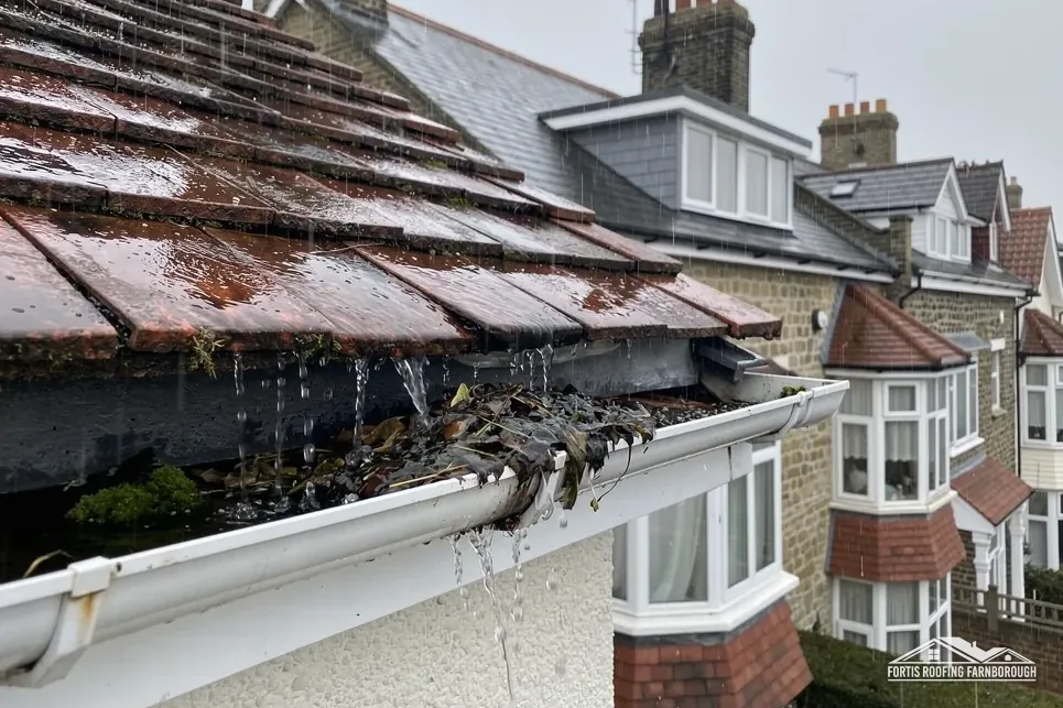

Houses from the 15th century
Waverley's neighbourhood plan says Elstead has houses dating back to the 15th century, strung along the village's springs.
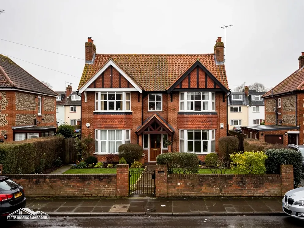
Roofs in a spring-line village of old houses and woodland
Elstead grew along Spring Hill and West Hill, and its houses go back to the 15th century. We survey these roofs with the village's age and designations in mind.
Waverley's neighbourhood plan says Elstead has houses dating back to the 15th century, strung along the village's springs.
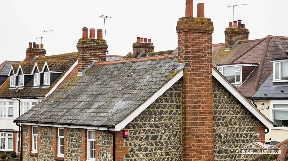
The carrot-growing years of the 1800s are when many of Elstead's grander gentry houses appeared, says the plan.

Elstead Mill and the Church of St James are both listed Grade II*, so their roofs follow stricter consent routes.
Map of Elstead with Tilford, Shackleford, Milford, Seale marked around it.
Map data © OpenStreetMap contributors. Loads only when you ask for it.
Elstead stands on the River Wey among woodland, farmland and heath, west of Godalming, with Farnborough 12.4 road miles to the north, counted from the A325.
About 12.4 road miles south of Farnborough · Waverley Borough Council and Surrey County Council.
Elstead, designations and records
What the Surrey Hills National Landscape, the village conservation areas and two Grade II* listed buildings mean for a roof in Elstead, with the councils and licences behind a job and the recorded history of the place.

| No. | Chapter | The figure it turns on |
|---|---|---|
| 01 | Waverley's village, Surrey's highway | Waverley plans, Surrey licenses scaffold |
| 02 | From Helestede to a carrot-growing village | Named in a 1128 charter |
| 03 | National Landscape, conservation areas and Grade II* buildings | Elstead's centre inside the National Landscape |
Chapter 01 of 03
| Part of the job | Body for Elstead |
|---|---|
| Planning authority | Waverley Borough Council |
| Building control | Waverley Building Control, the council's own service |
| Highway and scaffold licence | Surrey County Council (until 31 March 2027) |
| Civil parish | Elstead |
| Landscape designation | Surrey Hills National Landscape |
Elstead is in Waverley, and Waverley Borough Council is both the planning authority and the provider of building control. It runs its own building control service, Waverley Building Control, with no shared partnership. Surrey County Council looks after the village roads as highway authority until the end of March 2027, when Surrey's councils are replaced. Elstead's civil parish is also called Elstead, and it lies 12.4 road miles from Farnborough, to the south, on the A325 measure.
Waverley's building control pages state no re-roofing percentage, so we work to the national guidance. A re-roof that touches under 25 per cent of the building envelope and under 50 per cent of the roof is normally outside the need for an application. A replacement covering that adds 15 per cent or more to the weight does need approval, with a structural check. On the older houses here, where roof timbers may be modest, that weight check is the part we take most care over.
Our own distance figures all start at the A325 in Farnborough and run out to about 30 road miles. Elstead sits well inside that range, so a survey here is an ordinary working visit, and the same written price rules apply as anywhere else we work.
Surrey County Council (until April 2027) licenses scaffold standing on a public road or pavement. Its fee is £208 for each 28-day period, with renewal at the same fee, and its page asks for 10 working days between sending the form and the start date. Nothing on that page says who submits the form, so it is settled with the scaffolder before a date is set. A scaffold set up wholly on private land does not need one.
Some Elstead houses stand back from the road, behind a garden or a drive, which can make private-land scaffold possible. Others front a narrow lane, and then the licence matters. Footway and lane are measured on the survey day, and then you hear which situation is yours.
Parts of the land within about 250 m of Elstead's centre fall in Flood Zone 3 on the Environment Agency's Flood Map for Planning. For a roof, that is a reminder to keep downpipes, gullies and drains clear, because roof water has to go somewhere. We check outlets and runs at every survey and keep the pictures with the report, so you can see where each gutter sheds its water.
Chapter 02 of 03
Elstead's recorded history in four figures
Waverley's neighbourhood plan gives the village a long paper trail. The first known mention of Elstead is in the 1128 foundation charter of Waverley Abbey, which calls it Helestede, and the church of St James followed around 1138. The bridges over the River Wey, Elstead Bridge and Somerset Bridge, date back to around 1300 and are believed to have been built by the monks of Waverley Abbey after the floods of 1233. The 2021 Census counted 2,544 usual residents in the parish.
The plan describes Elstead as a linear spring-line village that grew around the springs and wells of Spring Hill and West Hill, with houses dating back to the 15th century. It adds that Elstead was famous for growing carrots in the 19th century, which is also the period when many of its grander gentry houses appeared. So the village holds a run of eras from medieval to Victorian, side by side along a few lanes.
For a roofer that means variety. A 15th-century house, a Victorian gentry house and a later infill home each ask for a different survey, and the age of the building tells you what kinds of fault to look for. Older frames move, and their roofs show it. Larger gentry houses often have several roof pitches, valleys and chimneys on one building, so their defects are more likely to sit in the joints between sections than on open slopes.
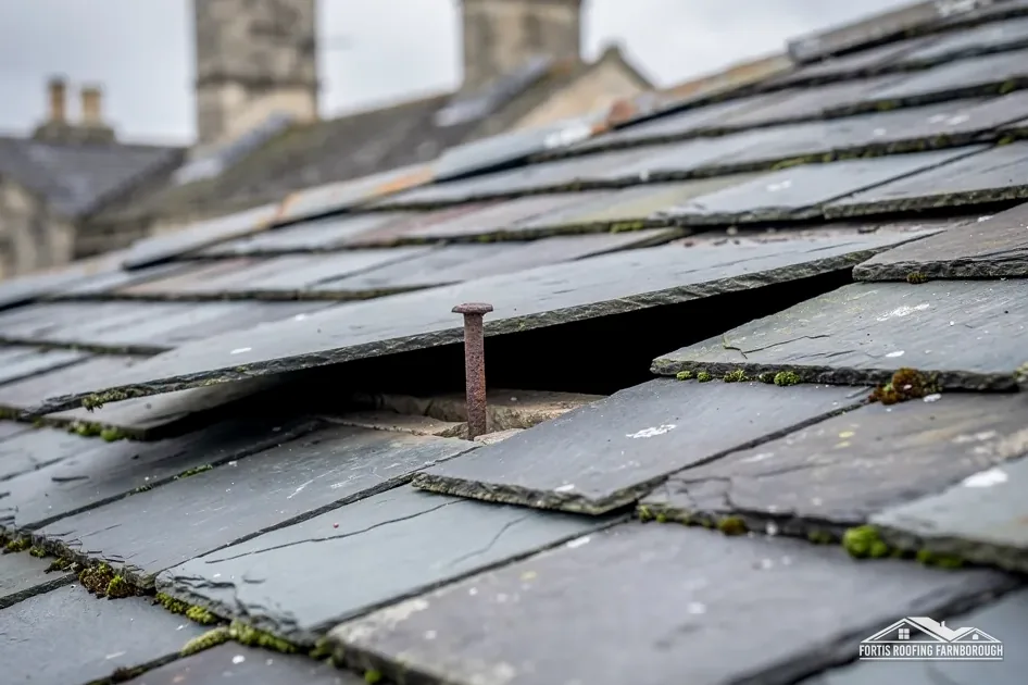
On any Elstead house we record the covering slope by slope, then the valleys, the ridge, the chimneys and the gutters. Our slate roofing page describes the repair of a slate roof where a few slates have slipped, and what the survey checks before we recommend a larger job. Our chimney repairs page does the same for stacks.
The age of the settlement also affects how we talk about materials. The village plan tells us when the houses were built, not what covers them today, so we never guess at a roof from its date. A 19th-century house may have been re-covered once or twice since, and what is on it now is what we match.
Two early dates
The wooded setting matters too. Trees close to a house drop leaves into gutters and valleys, and a blocked valley can push water under tiles. Clearing is routine work, and we show you the before and after photographs.
Chapter 03 of 03
| Designation | In Elstead | For roof work |
|---|---|---|
| National Landscape | Surrey Hills (formerly AONB) | Designated land for planning |
| Conservation areas | Elstead; Westbrook Green | Changes to the look checked with Waverley |
| Grade II* listed church in use | Church of St James (NHLE 1188415) | Faculty, not listed building consent |
| Grade II* listed | Elstead Mill (NHLE 1044454) | Listed building consent |
The whole of the area round Elstead's centre lies inside the Surrey Hills National Landscape, formerly an AONB, a 100 per cent overlap in the planning data. Planning law treats a National Landscape as designated land and withdraws some permitted development rights there, so any plan that alters a roof's appearance should go to Waverley's planners first. Swapping like for like is repair, and repair fills most of a village roof's working life.
The neighbourhood plan names two conservation areas in the parish: the Elstead conservation area round the village core, and the Westbrook Green conservation area. It also counts 35 listed buildings and three scheduled ancient monuments, among them Elstead Bridge and Somerset Bridge. Waverley's own Article 4 list names a 1965 direction for Sunray Poultry Farm in Elstead. For a house, we ask Waverley whether any direction applies to the address, as we would anywhere else in the borough.
The practical test in a conservation area is whether work changes the roof's appearance from outside. A slipped tile replaced by a matching one does not. Changing a tile to a different material, size or colour does, and that is the point to speak to the council before pricing.
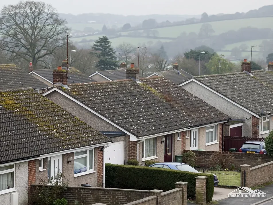
The Church of St James and Elstead Mill are both listed Grade II*. St James is in use for Anglican worship, so work on it goes through the faculty system rather than listed building consent from Waverley. The mill has no such exemption, so work touching its character needs listed building consent. Neighbouring houses are unaffected by either listing, but they show how carefully roof work is treated nearby.
It is worth separating three questions that owners tend to run together. First, is the house listed, which decides whether listed building consent is needed. Second, is it in a conservation area, which decides how carefully the look of the roof is protected. Third, is a change planned at all, because a straight repair raises neither question. We answer them in that order at the survey.
The Elstead conservation areas and their appraisals sit on Waverley's own pages, and we read the right one for your address before we visit. If your house is not in a conservation area, the survey still names the existing materials, because matching them keeps the street consistent.
It needs a closer one. A Victorian gentry-era house often has several pitches, valleys and chimneys, so we survey each section and each junction instead of one open slope. We lift a few tiles or slates to check the battens beneath and photograph every junction. The written price follows once the whole picture is clear.
A like-for-like re-roof normally does not, but National Landscape land counts as designated land and some permitted development rights are removed. Changing the look of a roof is the point to check with Waverley's planning team first. We record the existing materials so that a matching repair can be shown.
Surrey County Council (until April 2027) licenses scaffold on a public road at £208 for each 28-day period. Who sends the form is not said on its page, which makes it a point for the scaffolder before a start date is fixed. Work wholly inside your boundary needs no licence.
Not without checking. Elstead Mill holds a Grade II* listing, so any work touching its character calls for Waverley's listed building consent, whereas the Church of St James follows the faculty system. Any roofer asked to work on it should start with the council's heritage team and a record of the roof.
Get your free roof quote
Tell us which Elstead lane you are on and what the roof is up to, and a survey follows.
10-year workmanship guarantee, in writing.