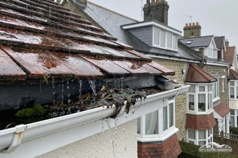

Four Grade II listed buildings
St Peter's church, Anglia Building Society, Frimley Park Mansion and The Grove are all listed Grade II.
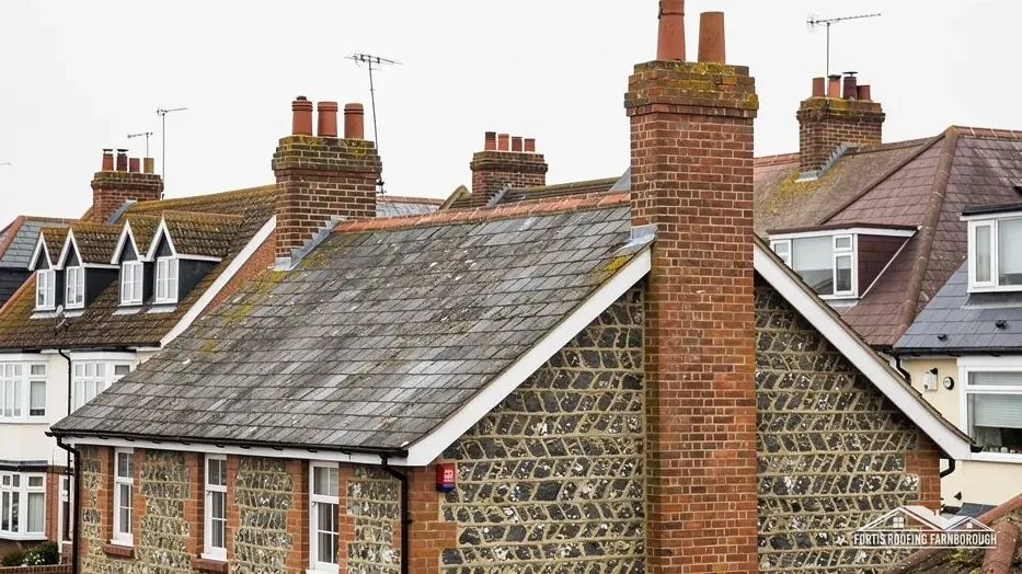
Roofs in a Blackwater valley town opposite Farnborough
Frimley grew from a heathland parish into a town of 15,106 people. Every roof is surveyed slope by slope, with photographs, and priced once in writing.
St Peter's church, Anglia Building Society, Frimley Park Mansion and The Grove are all listed Grade II.

Surrey Heath's character guide says large modern buildings transformed Frimley's historic village centre in the 1970s.
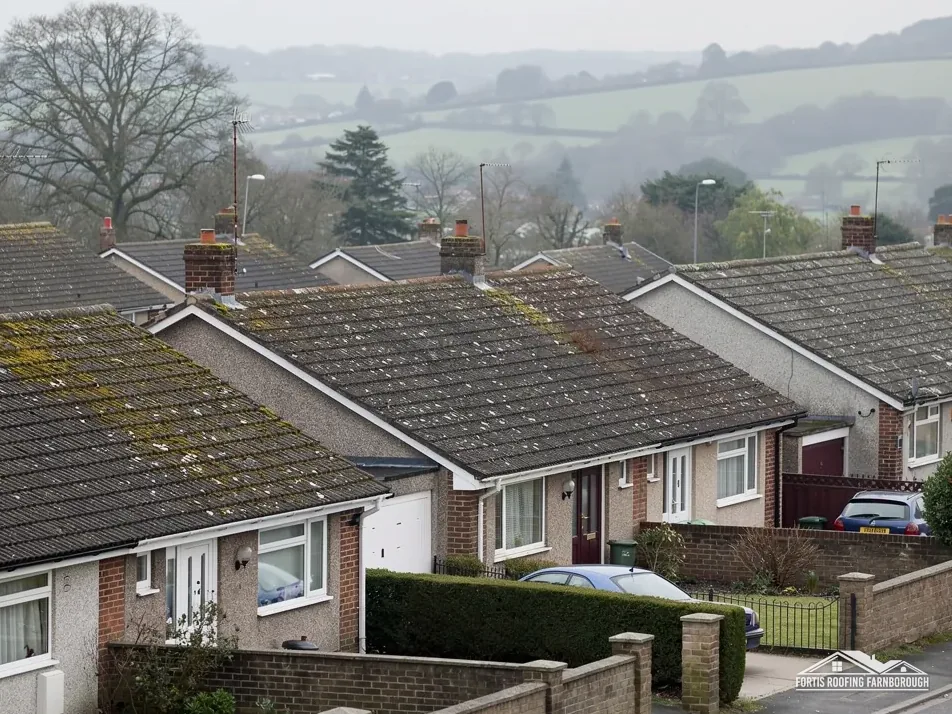
The same guide says post-war estates on former farmland eventually merged Frimley with Frimley Green.
Map of Frimley with Frimley Green, Hawley, Deepcut, Camberley, Farnborough marked around it.
Map data © OpenStreetMap contributors. Loads only when you ask for it.
Frimley Green lies to the south-east, Camberley to the north, Hawley to the north-west, Deepcut to the east, and West Heath and Cove to the south-west.
About 1.5 road miles north of Farnborough · Surrey Heath Borough Council and Surrey County Council.
Frimley, council and church records
Who signs off roof work in Frimley, what the parish histories and Surrey Heath's character guide say about how it grew, and which listed buildings and maps shape a repair.

| No. | Chapter | The figure it turns on |
|---|---|---|
| 01 | Surrey Heath, Surrey County Council and your Frimley roof | Surrey Heath plans; SHBCC inspects |
| 02 | A thatched chapel, a stone church and 1970s demolition | 15,106 residents; St Peter's built 1825 |
| 03 | St Peter's, the canal and Frimley's listed buildings | St Peter's, Grade II, by faculty |
Chapter 01 of 03
| Role | Body for Frimley addresses |
|---|---|
| Planning authority | Surrey Heath Borough Council |
| County and highway authority | Surrey County Council, until 31 March 2027 |
| Building control | Surrey Heath Building Control Consultancy (SHBCC) |
| Scaffold licence on the highway | Surrey County Council, 10 working days ahead |
| Parish status | Surrey Heath, unparished area |
Frimley is a Surrey town on the Hampshire border, 1.5 road miles north of Farnborough, measured from the A325. Surrey Heath Borough Council answers planning questions for its addresses, and Surrey County Council looks after the highway. West Surrey Council succeeds both on 1 April 2027, and until that day, says the county, everyday services run as before. A Frimley job booked now is dealt with by the councils in office now.
Surrey Heath's building control service is the Surrey Heath Building Control Consultancy, usually shortened to SHBCC. The private alternative is a registered building control approver, a regime in place since 6 April 2024. Refixing a few slipped tiles needs neither. Re-roofing has two limits in the Planning Portal's wording: under 25 per cent of the building envelope and under 50 per cent of the roof means building control normally wants no application. Approval and a structural check follow whenever the new covering is 15 per cent or more heavier, wherever you live.
The survey puts a figure on each slope, so you learn which side of those limits your job lies. If an application is needed, you hear before a date is fixed, and the report carries the photographs and measurements that support it. For a small repair on a house the question rarely arises. For a flat roof the picture changes a little, because Approved Document L counts replacing the waterproof membrane of a flat roof as renovation, and renovation brings insulation standards into the job.
Poles and boards standing out on the road or footway in front of a Frimley house need a licence from Surrey County Council. Its fee is £208 per 28-day licence period, and it wants at least 10 working days of notice before the date you choose. Who applies is not stated there, so the licence is something we line up alongside the scaffolder, and you receive the booked date in writing. Poles kept wholly on your own land are outside the licence scheme, and plenty of small repairs are reached from a tower or ladders instead, leaving the pavement clear for neighbours.
Chapter 02 of 03
Frimley in five dates and figures from published histories
The Victoria County History of 1911 describes Frimley's old chapel as a timbered building with a thatched roof, and says the present church of St Peter was built of stone in 1825 to replace it. That single sentence marks a real change in building: a chapel under thatch gave way to a stone church, which has now stood for two centuries of weather and repair. The same volume records that Frimley became a separate parish in 1866, and that a very great part of the parish was open, heather-covered land before the Inclosure Act of 1801.
Surrey Heath's Western Urban Area Character guide, adopted in 2012, describes two later changes. Large modern buildings transformed the historic village centre in the 1970s, and post-war estates on former farmland eventually merged Frimley with Frimley Green. The 2021 Census counted 15,106 people in the Frimley built-up area, so the town carries a great many roofs of very different ages side by side.
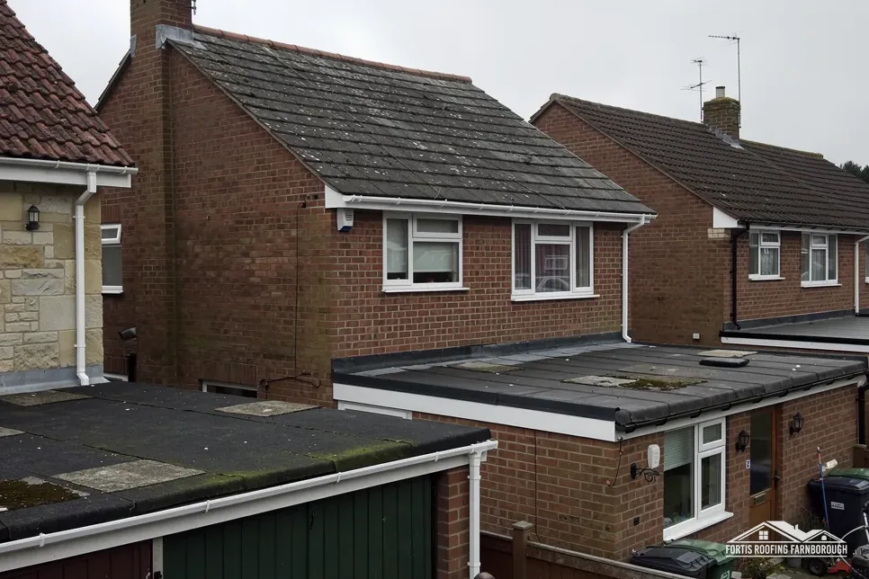
That mix is why we never guess a roof's age from the road. A 1970s building with a flat roof, a pitched estate house and a much older building can stand within a short walk of each other here, and each needs its own reading. We lift a few tiles on a pitched slope, probe the falls and outlets of a flat roof, photograph the ridge, verge, flashings and valleys, and write the result up slope by slope.
Our flat roofing page explains how felt, EPDM and GRP are laid and where each fails, which matters for the larger modern buildings the guide mentions. For houses, the pitched roofing page covers tiles, slates, ridges and valleys. In both cases the photographs and measurements reach you before any price, so the repair we recommend is one you can check against the evidence for yourself, with a neighbour or a surveyor if you wish.
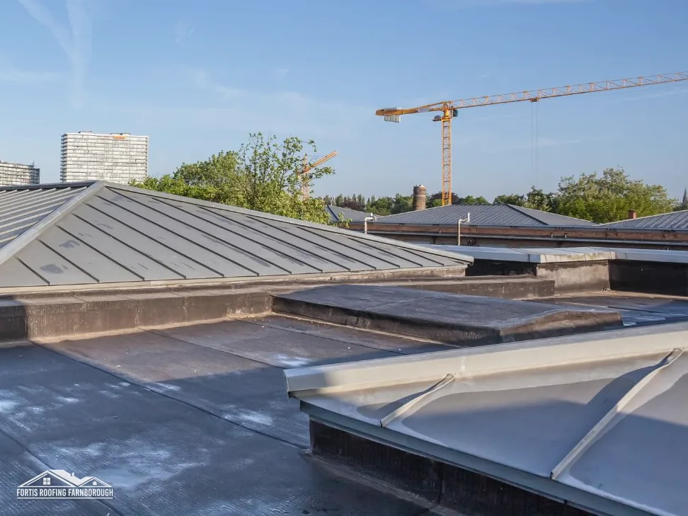
One more point comes from the 1970s change. Where a larger modern building sits close to older houses, water from its roof often has to be carried across shared boundaries, so a blocked outlet on one roof can show up as damp on another. Our report records where each roof drains to, with photographs of the outlets, so that a leak is traced to its true source instead of the nearest ceiling stain.
Chapter 03 of 03
| Designation | In or near Frimley | For roof work |
|---|---|---|
| Grade II listed church in use | Church of St Peter (NHLE 1180188) | Church of England faculty, not listed building consent |
| Grade II listed | Anglia Building Society (NHLE 1377519) | Listed building consent for works affecting character |
| Grade II listed | Frimley Park Mansion (NHLE 1030070); The Grove (NHLE 1377507) | Listed building consent for works affecting character |
| Conservation areas nearby | Basingstoke Canal; Hawley Park and Green; Royal Military Academy | Check your address with Surrey Heath |
| Flood Map for Planning | Flood Zone 3 within about 250 m of the centre | Drainage deserves early attention |

Frimley's record names four Grade II listed buildings: the Church of St Peter, the Anglia Building Society, Frimley Park Mansion and The Grove. Six listed buildings in all sit within 900 m of the centre. St Peter's is still used for Anglican worship, which puts its roof works under the faculty system and the ecclesiastical exemption. For any work that alters their character, the other listed buildings need listed building consent. Neither route can be skipped by an owner, and neither touches an ordinary unlisted house next door.
Surrey Heath has nine designated conservation areas. Near Frimley, the national dataset lists the Basingstoke Canal, Hawley Park and Green and the Royal Military Academy areas, and a Camberley area, Upper Gordon Road to Church Hill, is named as well. None reached the 1.5 km box around Frimley's centre, but you should still confirm your own address with Surrey Heath's planning team. Whether an Article 4 direction applies to a street is a separate matter, and we ask the council that question rather than assume an answer.
The Environment Agency's Flood Map for Planning puts parts of the land within about 250 m of Frimley's centre in Flood Zone 3. A map of land does not change how tiles are nailed. It does make clear gutters, downpipes and drains matter here, so on each survey we photograph the outlets and joints and flag any run that holds water. A repair on a listed building, or one close to a conservation area, begins with the same photographs, taken before any material is chosen. Our planning permission and roof work guide sets out the planning side in plain words, and our chimney repairs page covers the stacks that often decide how a street looks.
A short note on listed buildings, since Frimley has several. When the owner of a listed building asks for a roof survey, we photograph every feature that gives the roof its character before anything is priced: the ridge line, the eaves, the chimney stacks and the wall junctions, because a repair on such a building has to match what is already there.
Not unless your own house is listed or sits in a conservation area. St Peter's is in Anglican use, so its roof works follow the faculty system. For a house nearby, the National Heritage List and Surrey Heath's conservation maps are consulted during the visit, and the result is set out for you in plain words.
Surrey County Council's page says everyday services carry on unchanged for now. Surrey Heath and the county are replaced by West Surrey Council from 1 April 2027. A licence or building control query raised before that date goes to the councils in force, and if your work will run past it we tell you in writing who to contact.
Who applies is not stated on Surrey County Council's page, so the licence is something we line up alongside the scaffolder, and you get the booked date. The council charges £208 per 28-day period and wants the request 10 working days ahead. Scaffold on your own land needs no highway licence.
No, because the Flood Map for Planning rates land and not roof coverings. Parts of Frimley's centre sit in Flood Zone 3, which is a reason to keep gutters, outlets and downpipes working, since rain that cannot leave the roof ends up against the walls. We photograph every outlet on the survey.
Get your free roof quote
Tell us your Frimley road and what you have seen. We book the survey, and a written price follows.
10-year workmanship guarantee, in writing.