Mill and brewery sites
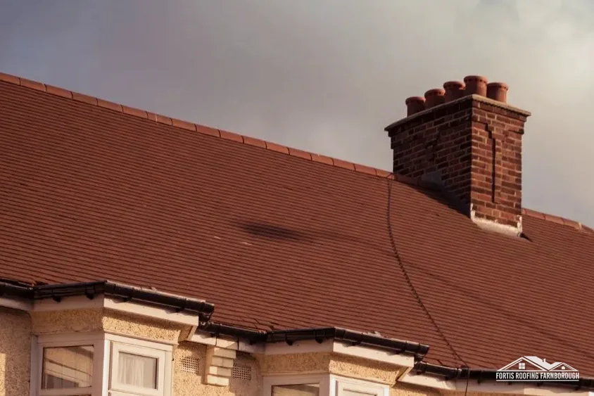
The 1911 county history lists an iron-mill site, a corn mill, a rosewater distillery and a brewery.
Roofs by the Wey navigation, from mill sites to small village houses
The 1911 county history lists a corn mill, a distillery, a brewery and small houses newly built in Byfleet. We survey every roof slope on the same plain terms.
The 1911 county history lists an iron-mill site, a corn mill, a rosewater distillery and a brewery.

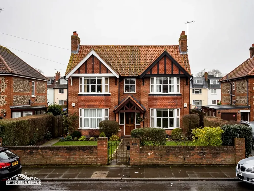
The same history says a number of small houses had lately been built in the parish.
The church of St Mary the Virgin has an early 14th-century chancel and nave, with chalk window dressings.
Map of Byfleet with New Haw, West Byfleet, Pyrford, Addlestone marked around it.
Map data © OpenStreetMap contributors. Loads only when you ask for it.
New Haw lies to the north-west, Addlestone and Weybridge to the north, Cobham to the east, Ripley to the south and West Byfleet and Pyrford to the west, towards Farnborough.
About 16.8 road miles east of Farnborough · Woking Borough Council and Surrey County Council.
Byfleet, rules and records
How Woking and Surrey divide the paperwork for a Byfleet roof, what the 1911 county history says about its mills and houses, and what the village conservation area and its listed buildings mean for repairs.

| No. | Chapter | The figure it turns on |
|---|---|---|
| 01 | Woking's building control and Surrey's scaffold rules | 10 working days' notice for Surrey scaffold |
| 02 | Mills, a distillery and a brewery in 1911 | 14,191 residents in Byfleet |
| 03 | The Byfleet Village conservation area and a war memorial | 27 conservation areas in Woking |
Chapter 01 of 03
| Matter | Body for Byfleet addresses |
|---|---|
| Planning | Woking Borough Council |
| Highway authority (until April 2027) | Surrey County Council |
| Building control | Woking Borough Council's own service |
| Scaffold on the highway | Surrey County Council licence |
| From 1 April 2027 | West Surrey Council replaces both |
Byfleet lies at the eastern edge of Woking borough, 16.8 road miles east of Farnborough measured from the A325 Farnborough Road. Two councils matter for a roof there. Planning and building control in Byfleet are Woking's, and the roads are Surrey County Council's until 31 March 2027, when West Surrey Council replaces both.
Roof repairs only reach Woking's building control team when they are large. By the Planning Portal's test, an application is not normally needed when the work touches under 25 per cent of the building envelope and under 50 per cent of the roof. Replacing a gutter run, a few tiles or a section of flat-roof membrane on a rear extension stays inside it. Re-covering a whole roof, or changing to a heavier covering by 15 per cent or more, does not.
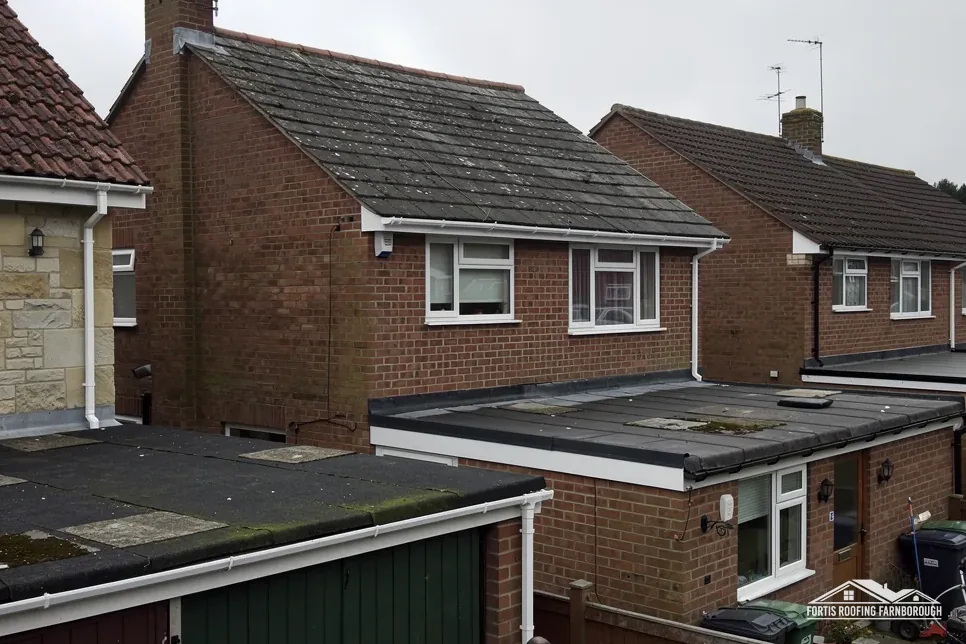
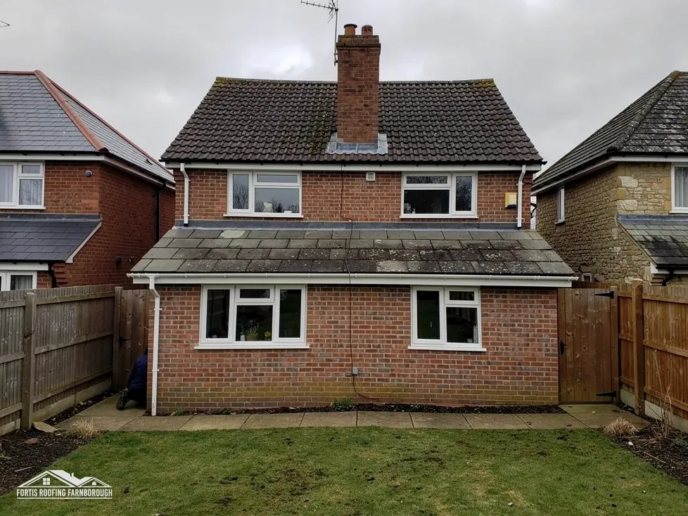
For a Byfleet house with a flat-roofed extension and a pitched main roof, the two roofs are measured separately. That matters because the share affected is judged across the whole roof, and because a flat-roof replacement and a pitched repair carry different risks. We note both areas on the plan, and tell you plainly if either brings in building control or a registered building control approver. A job that starts as a repair can grow once the covering is lifted, for instance if the boards under a flat roof prove soft. We stop, photograph what we found and send you the revised plan before going further, so the building control picture is updated with it.
Surrey County Council's page lists what an applicant must supply, including a copy of public liability insurance for a minimum of £10 million. The page says applications are processed within 10 days, asks for at least 10 working days before the start, sets the fee at £208 per 28-day period and calls the application fee non-refundable. Under section 169 of the Highways Act 1980, scaffold that obstructs the highway needs that licence.
The council's page says nothing on who applies, so the licence is settled with the scaffolder and the notice period is carried into your start date. For a flat roof, access from the rear may avoid the road altogether, and the survey says which of the two routes your house allows. A temporary make-safe, such as a patch on a failed membrane, is separate from the licence question and can come first if water is getting in. Our written price states whether scaffold is inside it. Our flat roofing page explains the membranes and falls we check.
Chapter 02 of 03
Byfleet counted and dated
Surrey's 1911 volume of the county history says seventeenth-century maps mark an iron mill on the old river where Byfleet corn mill stands, and that the parish's industries then included a rosewater and essential-oil distillery and a brewery. It adds that a number of small houses had lately been built. The 2021 Census counted 14,191 usual residents in the Byfleet built-up area, so the village is now much larger than that description.
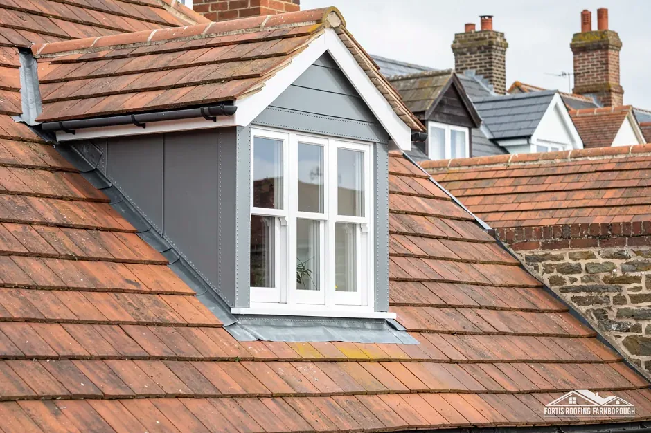
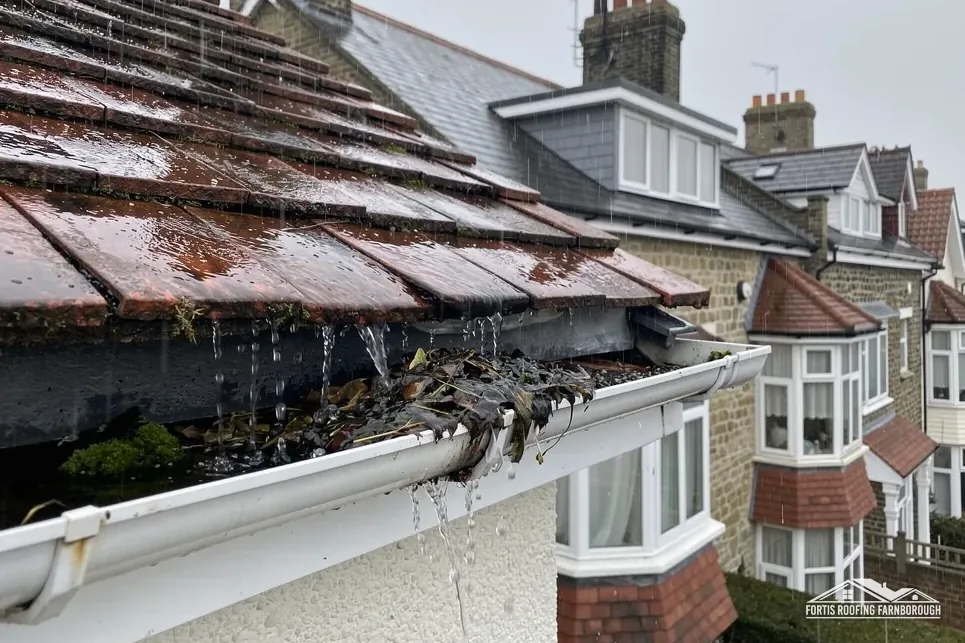
A parish that held a mill, a distillery and a brewery next to small new houses already mixed building types, and a roofer here meets more than one kind of roof. Industrial or commercial buildings often carry flat or low-pitched roofs; our commercial roofing page covers them. Small houses carry pitched coverings, and later extensions add flat roofs at the back. Each kind of roof fails in its own way, so each is surveyed on its own terms. Trees near a house drop leaves and seed into gutters and valleys, and a full gutter holds water against the fascia and the felt below it. Clearing is routine work, and the survey notes where debris has collected and where an outlet is partly blocked.
The church of St Mary the Virgin has a chancel and nave of the early 14th century, with window dressings of chalk. We do not reach conclusions about its roof from that record; it is a reminder that a Byfleet survey may cross seven centuries within a few hundred metres.
The Environment Agency's Flood Map for Planning puts the mapped centre point of Byfleet in Flood Zone 2. The zone describes the risk to land and not to a roof, and a roof survey is no flood assessment. What the survey does record is how rainwater leaves the roof: gutters, outlets and downpipes, their falls and joints, and whether any discharge sits close to a wall. Those are the parts we can see and repair.
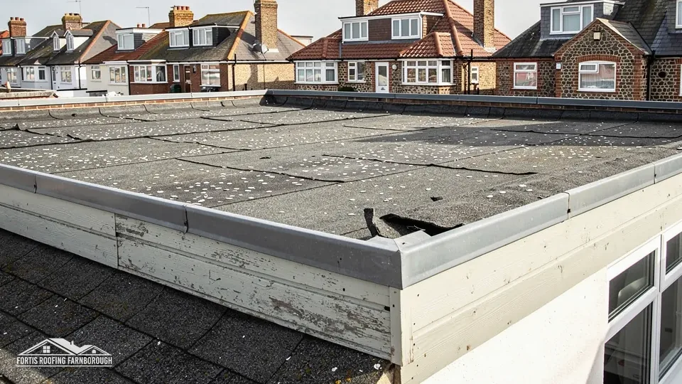
A flat roof carries its drainage within itself, while the rainwater goods of a pitched one are described on our gutters, soffits and fascias page. Both appear on the written plan with photographs.
Chapter 03 of 03
| Designation | In Byfleet | For roof work |
|---|---|---|
| Conservation area | Byfleet Village; Brooklands | Changes to the look checked with Woking |
| Grade II listed | Byfleet War Memorial (NHLE 1484775) | Listed building consent for works affecting its character |
| Grade II listed | Quince Cottage (NHLE 1264696) | Listed building consent for works affecting its character |
| Grade II listed | The Clock House (NHLE 1044730) | Listed building consent for works affecting its character |
Byfleet's own village conservation area appears in the planning dataset within about 0.75 km of the centre, with Brooklands touched by the same search. Woking's planning pages count 27 conservation areas in the borough. A particular address is checked on the council's map.
Inside a conservation area a repair is not blocked. Section 55 of the Town and Country Planning Act 1990 takes works that leave a building's external appearance materially unchanged outside the definition of development, so a repair that restores the existing look is the simple case. Changing the covering, the ridge profile or a chimney changes the look from the road, and we ask Woking's planning team before pricing such work. We also ask Woking whether an Article 4 direction applies to the address.
Byfleet War Memorial was first listed Grade II on 16 February 2023, so it is a recent entry on the national list. Quince Cottage and The Clock House are also Grade II. Historic England's list counts 5 listed buildings within about 500 m of the village point. Work affecting a listed building's character needs listed building consent, with planning permission as well where it applies, and the consent has to be seen before a start is agreed.
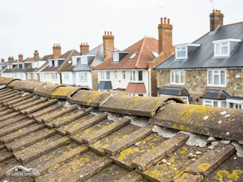
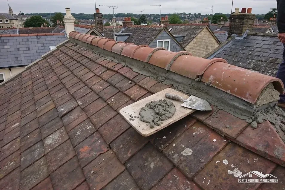
For a house in the conservation area or near one of the listed buildings, the survey is the same as elsewhere but the file is fuller. Our pitched roofing page describes the covering, ridge and verge repairs that are most often like-for-like, and the photographs show how closely a repair follows the original.
The file we keep for a conservation-area job, or one beside a listed building, has four parts: photographs of each slope before work, a plan marking the faults, a note of the covering and fixings we found, and the planning or consent answers we received. If Woking, a buyer's surveyor or a neighbour asks later what was done, the file is the answer. On a flat roof the same file records membrane colour, upstand heights and outlet positions, so a renewal can be matched as closely as the original allows. For a pitched slope it notes the tile or slate size, the ridge type and how the verge is fixed.
Yes. A flat-roof membrane is its own system, with its own falls, outlets and upstands, so it can be renewed while the pitched roof stays as it is. We measure both areas, check where the two roofs meet at the junction, and say whether the combined share of the roof reaches building control.
In the planning dataset Byfleet Village's conservation area sits near the centre, and Woking's map tells you if your house lies within it. A repair that keeps the outward look is normally simple. A new covering or ridge profile alters the look, so we ask Woking's planning team before pricing it.
Building Regulations approval is needed for a covering 15 per cent or more heavier than the old one, and the Planning Portal suggests an engineer's or surveyor's opinion before work. Woking runs its own building control, and a registered building control approver is the private route. We compare weights at the survey.
The Environment Agency's map puts the village centre point in Flood Zone 2, which describes risk to land. It does not change how a roof is repaired. We record gutters, outlets and downpipes so rainwater is carried clear of the walls, and we tell you if a discharge point looks wrongly placed.
Get your free roof quote
Send the Byfleet road and a line on the problem, and a survey day will be fixed.
10-year workmanship guarantee, in writing.